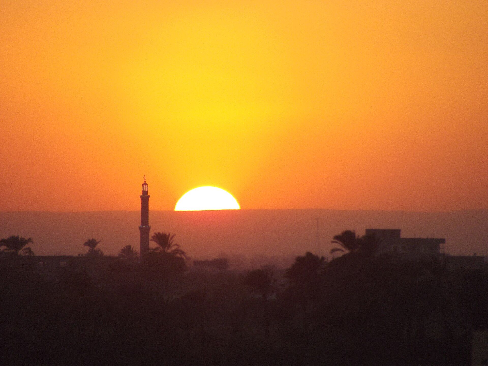
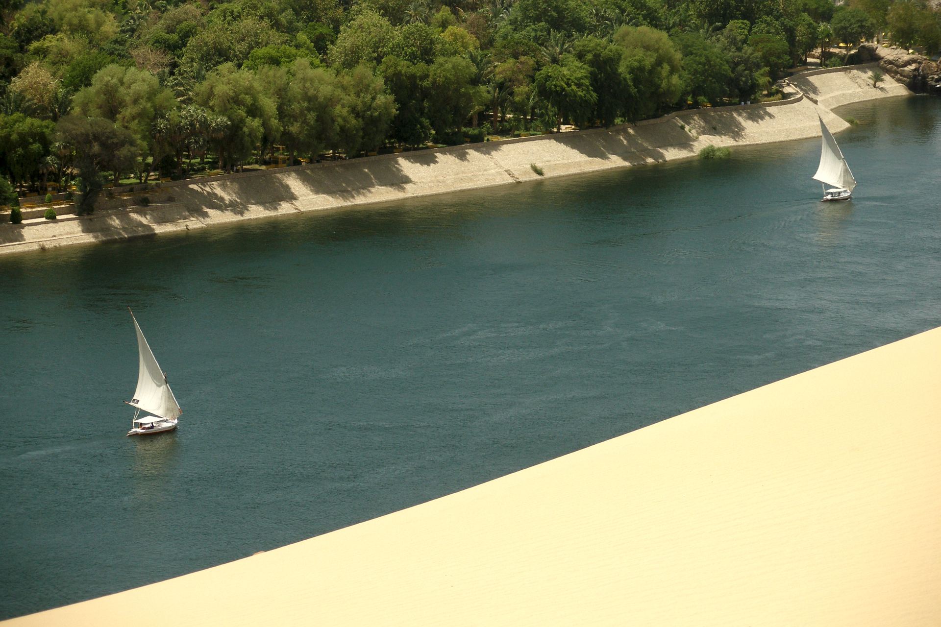
Photo: Vyacheslav Argenberg · CC BY 4.0 · Wikimedia Commons
RIVER BASIN · NILE Africa · Equatorial lakes & Ethiopian highlands → Mediterranean
The longest river on Earth, the oldest water politics on Earth — and, since one wall of concrete rose in the Ethiopian highlands, the tensest.
The gift and the argument
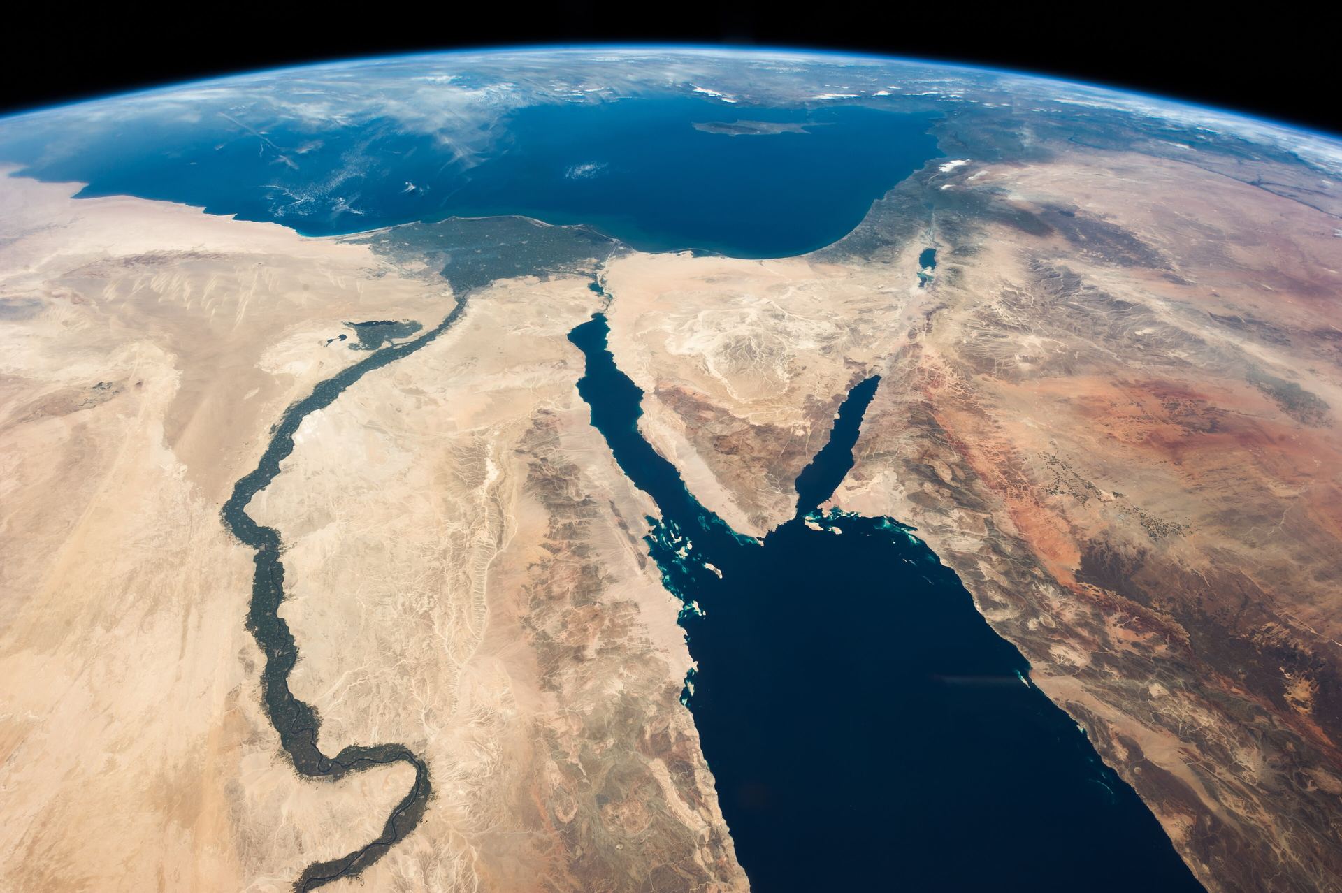
Herodotus called Egypt the gift of the Nile, and for five thousand years the river has been both gift and argument. No civilization has depended so completely, for so long, on water that rises somewhere else: nearly every drop that reaches an Egyptian field fell first as rain on the Ethiopian highlands or the equatorial lake plateau, in other countries, under other flags.
Eleven countries share the basin — from Tanzania and Uganda at the sources of the White Nile, through South Sudan's vast Sudd swamps, to Ethiopia, whose Blue Nile delivers some four fifths of the river's flood, and finally Sudan and Egypt, where almost no rain falls at all. Upstream, water is a future to be developed. Downstream, it is a lifeline already spoken for. That asymmetry is the entire story.
On the Nile, geography wrote the treaty positions long before any diplomat did: the rain falls upstream, and the history lives downstream.
Legends & names
To the pharaohs it needed no name but "the river"; its god Hapi brought the flood that set the calendar. Ethiopia's Abay is honoured in hymn and epic as a national treasure withheld — "the river that gives its wealth to strangers," as the old verse has it. Every name carries a claim, and on the Nile the claims are older than writing.
The basin
Sources: FAO AQUASTAT (external-water dependency); WRI Aqueduct (baseline water stress); GOODD / public records (dams). Real basin & country geometry (TFDD · Natural Earth); figures curated from published data.
Cooperation & conflict
The Nile's treaty record is long — 31 agreements in the TFDD database — but lopsided. Its foundational texts were written by colonial powers and by the two most downstream states, allocating the river's entire measured flow between Egypt and Sudan while the countries that supply the water signed nothing. The upstream states have spent the decades since trying to renegotiate a river that was, on paper, already fully spoken for. Then Ethiopia stopped negotiating with paper.
Britain and Ethiopia exchange notes on the Blue Nile frontier — the first entries in a treaty record that upstream states would later reject as another era's signatures.
The Nile Waters Agreements give Egypt and Sudan the entire measured flow and Egypt a veto over upstream works. Ethiopia — source of most of the water — is party to neither. Every argument since begins here.
All basin states sit at one table for the first time — a transitional partnership for joint projects and shared data, brokered with World Bank support, awaiting a permanent treaty.
The would-be permanent constitution, signed at Entebbe by upstream states — and rejected by Egypt and Sudan over one clause: the status of "existing uses." The basin splits along the oldest line it has.
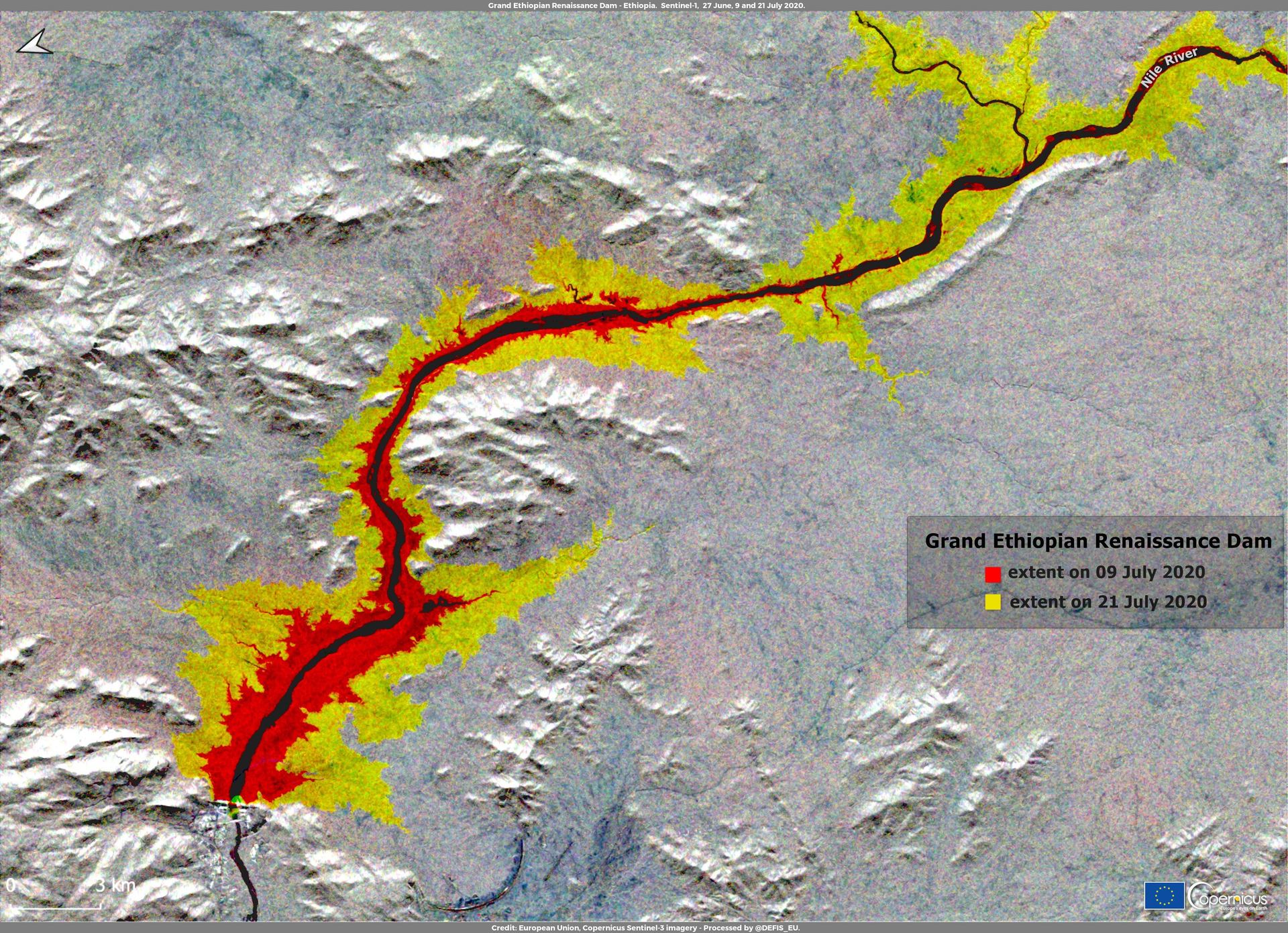
Weeks after the Arab Spring reaches Cairo, Ethiopia breaks ground on the Grand Ethiopian Renaissance Dam — 74 billion cubic metres of reservoir, financed largely by Ethiopians themselves.
Egypt, Ethiopia and Sudan agree in Khartoum on principles — no significant harm, cooperation on filling — but not on the binding mechanics. Talks under African Union auspices continue to stall.
Through five rainy seasons, Ethiopia fills the dam without a final agreement. The feared collapse in downstream supply does not materialize in wet years — but the rules for a drought remain unwritten. That unwritten page is the basin's live risk.
The cooperation indicator
Sharp words, no shots
The events record mixes decades of joint technical work with recurring diplomatic crises and hostile rhetoric — talk of red lines, never (so far) of force used.
TFDD events 1948–2008: 473 · mean +1.67 · 79% cooperative — but this record ends before the GERD (2011)
Many treaties, no consensus
31 agreements — but the ones that allocate water bind only two of eleven states, and the framework meant to fix that (the CFA) splits the basin instead of uniting it.
TFDD treaties: 31 · browse them →
Partial coverage
Under SDG 6.5.2, basin states report only partial coverage by operational arrangements — the NBI functions, but Egypt froze its participation in 2010.
SDG 6.5.2: weighted 88.5% — but only 4 of 11 riparians reported; Egypt and Ethiopia did not
Elevated — the GERD era
Not part of the cooperation score. The Water, Peace & Security partnership forecasts near-term conflict risk from climate, hydrological and socio-economic signals — a forward-looking companion to the historical record below.
Water, Peace & Security forecast → · a forecast, not scored here
Founded 1999 · 10 member states · a transitional partnership, not yet a permanent treaty-based commission — and Egypt froze its participation in 2010. The institution the basin has is weaker than the one it needs.
Pacific Institute typology — trigger: a dispute over water that sparks violence · weapon: water or water systems used as a means of attack · casualty: water systems damaged in fighting.
Water-conflict events recorded across the Nile's countries (Pacific Institute) — national and local incidents, not only transboundary disputes. The contrast with the mostly-cooperative pre-2008 state record is the GERD-era story in one number.
A two-out-of-five does not mean war is coming — it means the institutions are thinner than the stakes. The same basin that produces the GERD standoff also runs joint flood forecasts and shared data platforms through the NBI. Conflict and cooperation coexist here more visibly than anywhere on Earth; what the Nile lacks is machinery strong enough to absorb the biggest disputes. How this indicator is built →
The paper river
An exchange of notes between Britain (for its East African territories) and Egypt: Egypt's "historic rights" recognized, and a veto over upstream works established. The upstream states inherit a river already promised away.
The entire measured flow divided two ways — 55.5 billion m³ to Egypt, 18.5 to Sudan — clearing the way for the Aswan High Dam. Ethiopia, source of most of that water, is not at the table.
The Entebbe Agreement: equitable use, no significant harm, a permanent basin commission. Signed by six upstream states, ratified by enough to enter force among them — and rejected by Egypt and Sudan. One basin, two legal worlds.
…and 28 more agreements in the record, from Lake Victoria fisheries to the Kagera. SOURCE: TFDD INTERNATIONAL FRESHWATER TREATIES DATABASE
What the research says
Is the Nile a story of looming war, or of an overdue rebalancing of power? One reading of the basin's last two decades, from the research literature:
The Nile's central problem has never really been the volume of water. It has been the distribution of power over that water — a downstream-favouring order, built on colonial-era agreements and Egypt's ability to enforce them, that held for most of a century.
On this reading the Grand Ethiopian Renaissance Dam did not create the basin's asymmetry so much as end it: upstream states acquired the finance, the engineering capacity and the political confidence to act without downstream consent. The open question is no longer whether power has shifted, but whether the basin's institutions can catch up with a distribution of power they were never designed for.
Ana Elisa Cascão Researcher on Nile Basin hydropolitics; formerly Stockholm International Water Institute Summarised from: Cascão, A.E. (2009) “Changing Power Relations in the Nile River Basin: Unilateralism vs. Cooperation?”, Water Alternatives 2(2): 245–268 · read the original →
Our summary of published work — not a quotationThe view from the fields
The dispute is argued in capitals; it is felt at the end of the irrigation canals, where the delta meets the sea:

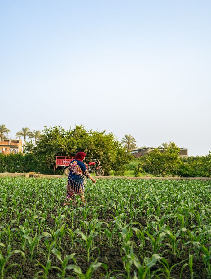
My father flooded this field from the canal without thinking. I measure by the hour, and still the salt creeps up from the north. They argue about the dam upstream; we are already farming with less water than his generation ever imagined.
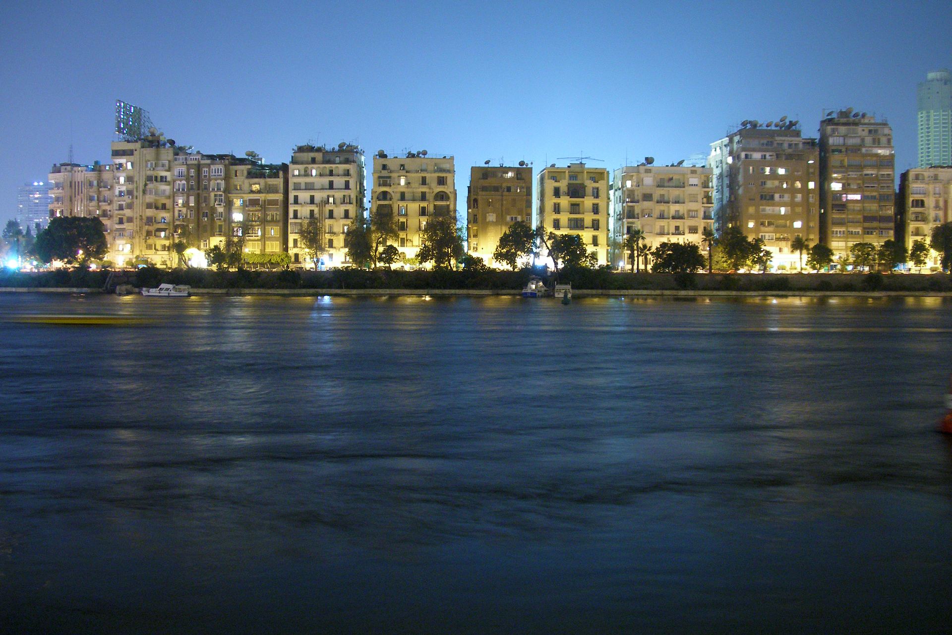
A delta farmer's accountComposite voice — drawn from published interviews in Nile Delta reporting (UN, FAO and journalistic case studies on salinization and water rationing) · Illustrative photo: Theavenger24, CC BY-SA 4.0
Composite, clearly marked — not a named individual
Prospects
The basin's population — some 260 million people — is projected to double within a generation, while climate models promise a Nile that swings harder between flood and failure. The GERD reservoir is full; the drought rulebook for operating it jointly with Egypt's High Aswan Dam still does not exist. Two of the largest water stores in Africa now sit on one river, run by governments that do not agree on the rules.
And yet the machinery for something better keeps being sketched: the NBI's shared models, the dormant CFA commission, the 2015 principles. The Nile has spent a century proving that paper alone cannot share a river. Its next decades will test the reverse proposition — whether a river this essential can force the paper to catch up.
Five thousand years of Nile politics come down to one unwritten page: what happens in the first great drought after the dam.
Next story · River basin
Sixty million people live from a river whose flood pulse is being re-engineered by dams upstream. Asia's great test of sharing — where the commission covers only four of six countries.
Read the story →